Proposals are requested for the preparation and presentation of a fire service review of Sussex Fire Department.
To obtain RFP forms contact Shelley Scott, Purchasing Agent, at shelley.scott@sussex.ca with RFP-24-04 Fire Service Review in the subject line or by calling 506-432-4567.
Proposals must be received at Sussex not later than Tuesday, May 7, 2024 at 12:00:00, Atlantic Time.
Proposals will not be accepted by facsimile or electronically.
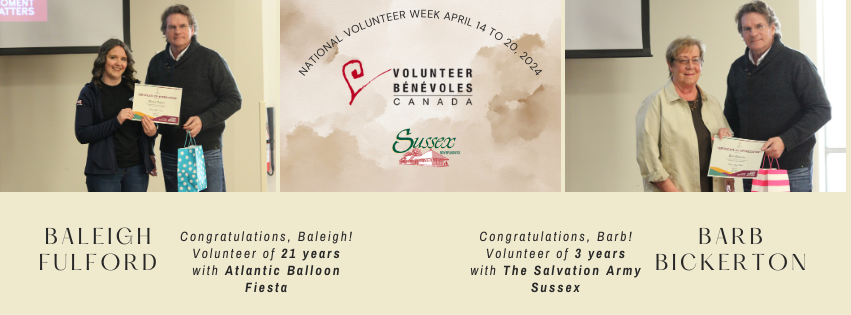
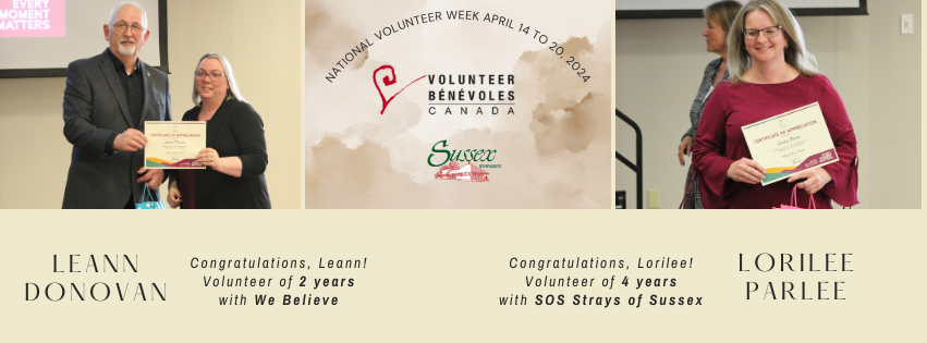
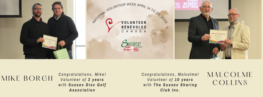
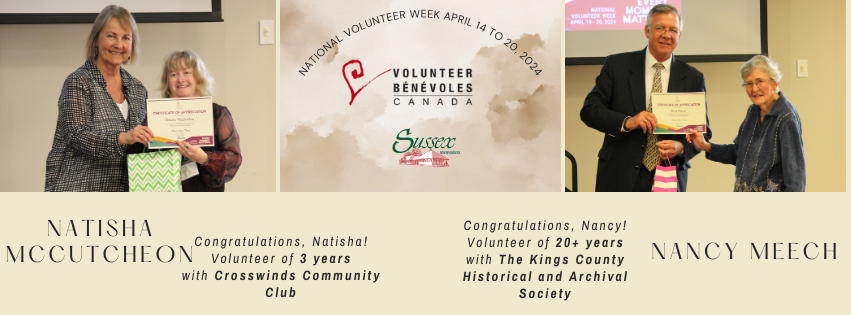
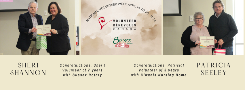
April 14 to 20 marks National Volunteer week, an annual celebration that recognizes the invaluable contributions of volunteers around Canada. On April 18, Sussex hosted their 2024 Volunteer Appreciation Reception and Awards.
Volunteering is the backbone of a strong, vibrant community. Every volunteer’s unique experience and perspective add to our collective strength, weaving our community together making it more resilient and inclusive for all.
During National Volunteer Week, we celebrate the collective impact of volunteers making a difference in our Community. By coming together we increase our collective efforts and contribute exponentially to the quality of life we all strive for. Whether you volunteer regularly or are considering getting involved, National Volunteer Week is a time to reflect on the power of service and the meaningful difference we can make in our community.
Sussex would like to express our deepest gratitude for the volunteers whose tireless efforts and unwavering dedication make Sussex a better place to live.
Councillor Maguire & Allison Pearson Deputy Mayor Wilson & Allan Bowie
Mayor Marc THorne & Baleigh FulfordMayor Marc Thorne & Barb Bickerton
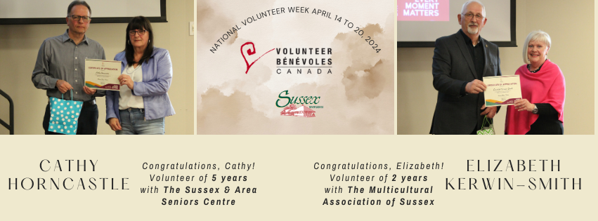
Councillor Maguire & Cathy HorncastleCouncillor Milner & Elizabeth Kerwin-Smith
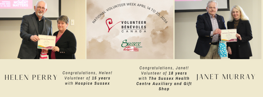
Councillor Milner & Helen PerryDeputy Mayor Wilson & Janet Murray
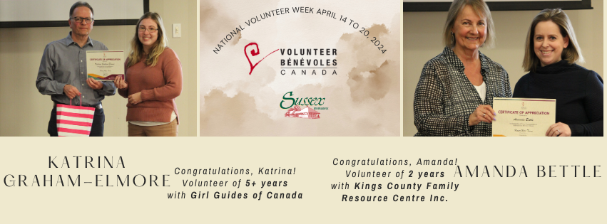
Mayor Marc Thorne & Judy Feltus Councillor Maguire & Kandi Sherwood Murphy
Quotations are requested for upgrades to Maxwell Drive, Sussex, including, but not limited to aggregate base, asphalt, curb and gutter, and storm utility.
Sussex will receive more than $3.2 million for initiatives such as updating infrastructure planning to align with future growth, developing non-profit partnerships, providing permit-ready parcels of vacant land, amending zoning bylaws to allow more homes in neighbourhoods, promoting the development of alternative housing types like modular and prefabricated, and implementing flood mitigation strategies.